Mustang Tour
TRAVEL TO MUSTANG
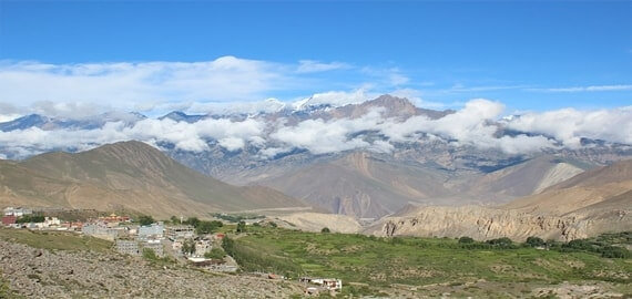
The highlight of this trek involves 16th century monasteries remain active, adorned with unrivalled frescoes. Mustang is the land of Barley field's pastures for grazing herds. The trail above Kali Gandaki River tantalized a generation of trekkers. Mustang is ancient forbidden kingdom, where strict regulation of travelers helped Tibetan traditions survive stronger than Tibet proper. Mustang is considered as a restricted area, and there are some government formalities like obtaining a special permit. The major attraction of this trek is Lo Manthang, the impressive walled capital. Above Lo Manthang is Tibet and our excursion takes near to Tibet territory.

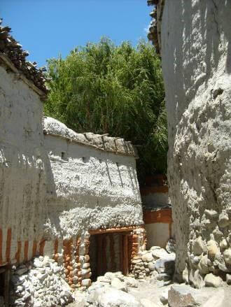
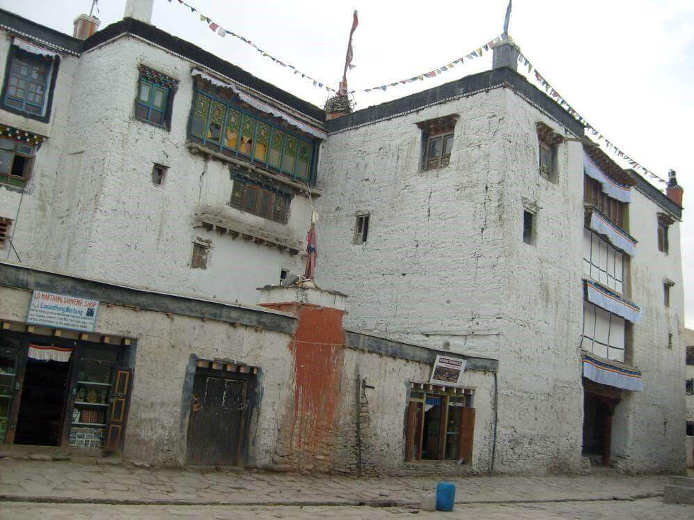
Lo Monthang features the King’s Palace and many monasteries, which are currently being restored by art historians from Italy and other European countries. The village is noted for its tall white washed mud brick walls, gompas and the Raja's or Royal or King's Palace, a nine-cornered, five story structure built around 1400. There are four major temples: Jampa Lhakhang or Jampa Gompa, the oldest, built in the early 15th century and also known as the "God house"; Thubchen Gompa, a huge, red assembly hall and gompa built in the late 15th century and located just southwest of Jampa Gompa; Chodey Gompa, now the main city gompa; and the Choprang Gompa, which is popularly known as the "New Gompa”. Considered by some scholars to be the best preserved medieval fortress to the world and a UNESCO World Heritage.
| Type of Trek | Lodge trek | Camping |
| Grading of Trek | Moderate to Hard | Medium Strenuous |
| Highest Elevation | 4,070 meters (Lo Manthang ) | 4,070 meters (Lo Manthang ) |
| Highest point of Camp or an accommodationTransfer: Coach | 3,800 meters (Tragmar) | 3,800 meters (Tragmar) |
| Best Time | March-October | March-April/ Oct-November-December |
Note
- The proposed trip has been made by A.N.T. Travel Expert
- Cost of the trip will be determine on the number of person and on agreed Itinerary.
- To reduce the cost, traveler can choose to travel by Land instead of Flight (KTM-PKR-Jomsom – PKR- KTM) however it will increase in number of days.
- Sightseen arrangement in Kathmandu and Pokhara can be included.
- Additional days are required for additional activities in Pokhara and in Kathmandu.
TREKKING PERMIT
Upper Mustang, The Lost Tibetan Kingdom has been never a backpacker’s haven. Trans Himalayan salt trading route from Kagbeni to Tibet via Lo Manthang. Many trekkers made “U Turn” from Kagbeni because of expensive permit for Upper Mustang. Upper Mustang is located entirely within the Annapurna Conservation Area Project. Apart from ACAP entry permit trekkers needs to issue special restricted permit from Nepal Immigration. TIMS card is not needed after possessing restricted permit issue with immigration. Two different permits are needed.
- Annapurna Conservation Area Project (ACAP) Entry Permit
This can be issued at office of Nepal Tourism Board. Either in Kathmandu or Pokhara. Regardless of time span this single entry permit cost Nepali Rs. 2000 (Approximately USD 20). Trekkers need to provide passport details. One passport size picture is needed. This permit can be issued in advance before arrival of trekkers.
- Restricted Area Permit (RAP Upper Mustang)
This is the highly delicate permit system. The cost is expensive. It is USD 500 Per Person for the first ten days. Your days will be counted from Kagbeni Check Point (When you move ahead of Kagbeni). In general our itineraries are scheduled to fit restricted area with ten days. For Lo Manthang we used to allocate two overnights stay. In case if number of days gets extended than USD 50 Per Person Per Day is applicable.
Upper Mustang Trek Permit Summary
- Valid Passport with minimum 6 months to expiry
- ACAP Permit | USD 20 Per Person | One Printed Passport Size Picture
- RAP Upper Mustang – USD 500 Per Person for first 10 days |Scanned Copy of Passport Size Picture | One Printed Passport Size Picture
- Minimum two trekkers are needed with guidance of authorized local operator
Itinerary
Trip Overview:
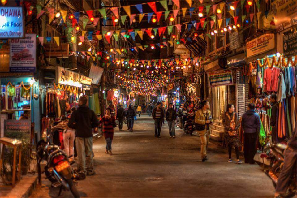
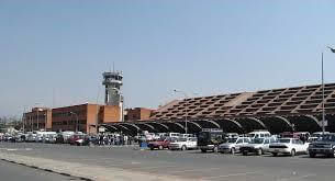
| DAY 1: Your arrival at Kathmandu (1,350m).
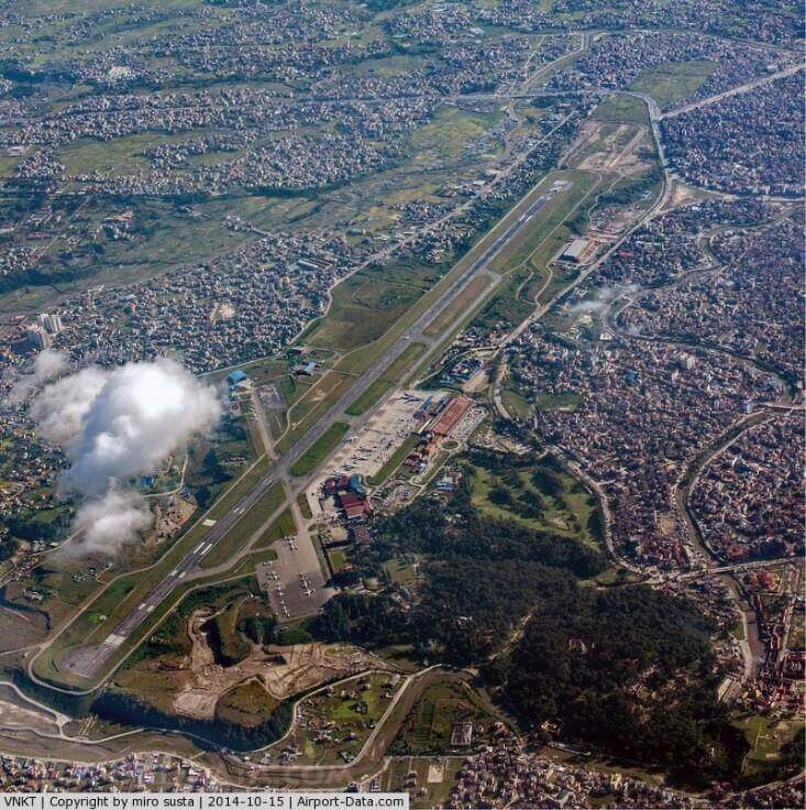
Our team will be waiting you at Tribhuvan International Airport (TIA) to facilitate and transfer to hotel |
 |
 |
|
| DAY 2: Free Day in Kathmandu: Major Attraction
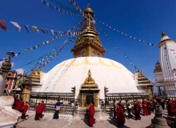
Shyambhunath Stupa Swayambhunath sometimes Swayambu or Swoyambhu) is an ancient religious architecture atop a hill in the Kathmandu Valley, west of Kathmandu city. According to Swayambhu Purana, the entire valley was once filled with an enormous lake, out of which grew a lotus. The valley came to be known as Swayambhu, meaning "Self-Created." The name comes from an eternal self-existent flame (svyaṃbhu) over which a sūpa was later built. Swayambhunath is also known as the Monkey Temple as there are holy monkeys living in the north-west parts of the temple. They are holy because Manjushri, the bodhisattva of wisdom and learning was raising the hill which the stupa stands on. |
 |
|
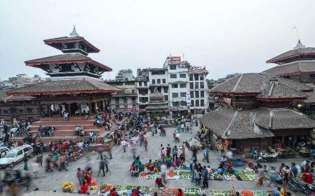
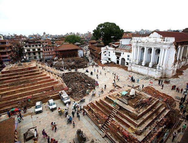
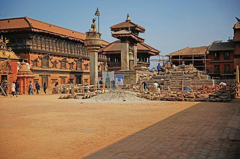
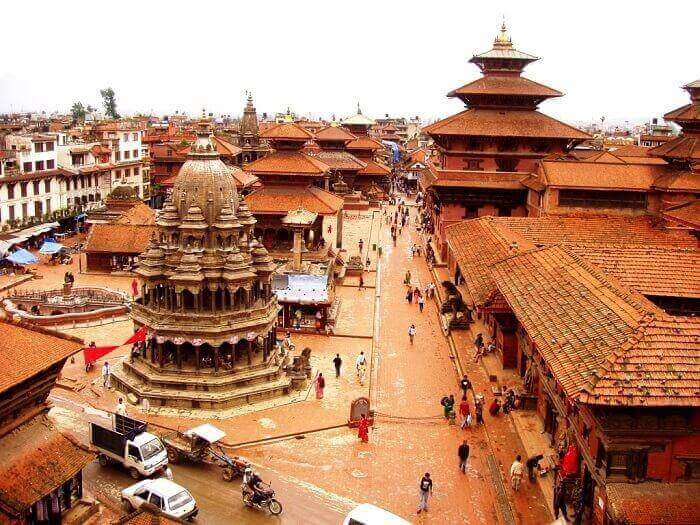
Basantpur Durbar Square Kathmandu Durbar Square (Basantapur Darbar Kshetra) in front of the old royal palace of the former Kathmandu Kingdom is one of three Durbar (royal palace) Squares in the Kathmandu Valley in Nepal, all of which are UNESCO World Heritage Sites. Several buildings in the Square collapsed due to a major earthquake on 25 April 2015. Time and again the temples and the palaces in the square have gone through reconstruction after being damaged by natural causes or neglect. Presently there are less than ten quadrangles in the square. The temples are being preserved as national heritage sites and the palace is being used as a museum. Only a few parts of the palace are open for visitors and the Taleju temples are only open for people of Hindu and Buddhist faiths. At the southern end of Durbar Square is one of the most curious attractions in Nepal, the Kumari Chok. This gilded cage contains the Raj Kumari, a girl chosen through an ancient and mystical selection process to become the human incarnation of the Hindu mother goddess, Durga. She is worshiped during religious festivals and makes public appearances at other times for a fee paid to her guards. |
Before 25 April 2015,Earthquake
After 25 April 2015,Earthquake |
|
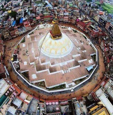
Buddhanath Stupa Bodnath was probably built in the 14th century after the Mughal invasions The Boudhanath stupa is known to be the holiest temple grounds in Kathmandu. Over the years, the temple has remained active after it was declared a UNESCO world heritage in 1979.The temple is also known as Boudha Chorten Chempo. It has a diameter of 120 meters. It remains an important place of pilgrimage and meditation for Tibetan Buddhists and local Nepalis, as well as a popular tourist site. From above, Bodnath Stupa looks like a giant mandala, or diagram of the Buddhist cosmos. And as in all Tibetan mandalas, four of the Dhyani Buddhas mark the cardinal points, with the fifth, Vairocana, enshrined in the center (in the white hemisphere of the stupa). The five Buddhas also personify the five elements (earth, water, fire, air and ether), which are represented in the stupa's architecture. |
 |
| Pashupatinath Temple
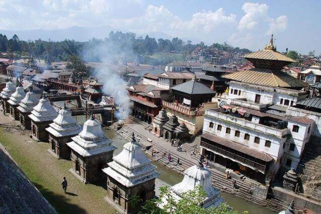
The Pashupatinath Temple is considered one of the sacred temples of Hindu fait located on the banks of the Bagmati River. This temple complex is on UNESCO World Heritage Sites's list Since 1979. One of the major Festivals of the temple is Maha Shivaratri on which day over 800,000 devotees visit here. The temple is one of the 275 Tamil Paadal Petra Sthalams (Holy Abodes of Shiva) on the continent. The area of Pashupatinath encompasses 264 hectares of land including 518 temples and monuments.[2] Main pagoda style temple is located in the fortified courtyard within the complex. In front of the western door, there is a huge statue Nandi bull, in bronze. Along with many temples and shrines of both Vaishnav and saiva tradition. The Pashupatinath, a holy Hindu temple where the cremations process of Hindu religion takes place. |
 |
| DAY 3: Fly to Pokhara:
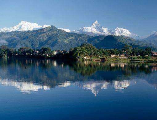
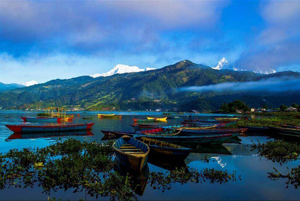
In the morning transfer to the Kathmandu domestic airport. A 30 minutes flight to Pokhara. Transfer to Hotel, free afternoon in Pokhara. Pokhara is a city on Phewa Lake, in central Nepal. It’s known as a gateway to the Annapurna Circuit, a popular trail in the Himalayas. Tal Barahi Temple, a 2-story pagoda, sits on an island in the lake. On the eastern shore, the Lakeside district has yoga centers and restaurants. In the city’s south, the International Mountain Museum has exhibits on the history of mountaineering and the people of the Himalayas. |
 |
|
|
|
|
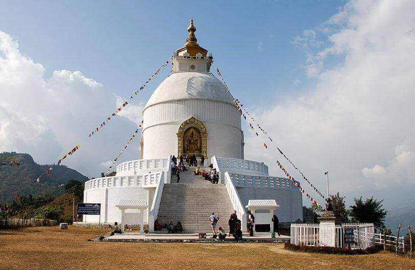
World Peace Pagoda Shanti Stupa in Pokhara is the first World Peace Pagoda in Nepal and seventy-first pagoda built by Nipponzan-Myōhōji in the world. The pagoda is 115 feet tall and 344 feet in diameter. The white pagoda has two tiers for tourist and religious people to circumambulate.[1] Second tier displays the four statues of Buddha presented as a souvenirs from different countries: ‘Dharmacakra Mudra’ from Japan, ‘Bodh Gaya’ from Sri Lanka, ‘Kushinagar’ from Thailand and 'Lumbini' from Nepal. Each statues represents the important events related to Buddha and named according to the place where it took place.[1][5] Dharmachakra is placed below gajur (pinnacle) which signifies wheel of life, dharma and Buddha's teaching. Top of the golden gajur holds the crystal stone from Sri Lanka which symbolizes intellect and grace.[1] Dhamma hall with Buddha statue is located nearby the peace pagoda where Buddhist rituals take place daily and big ceremonies pujas are performed on the important dates according to Lunar calendar, such as on full moon day. |
 |
|
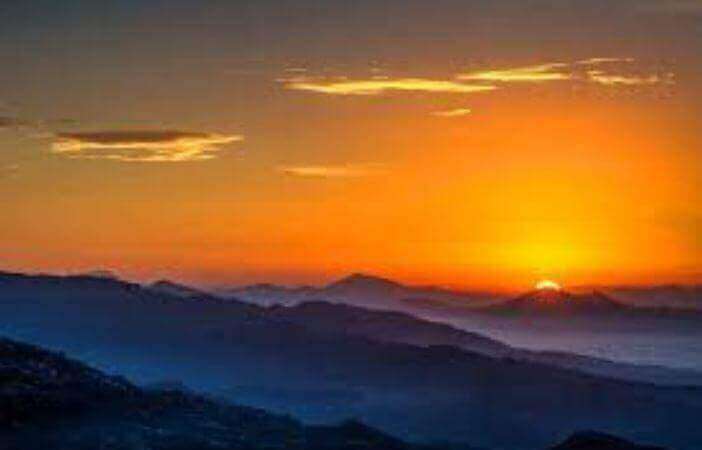
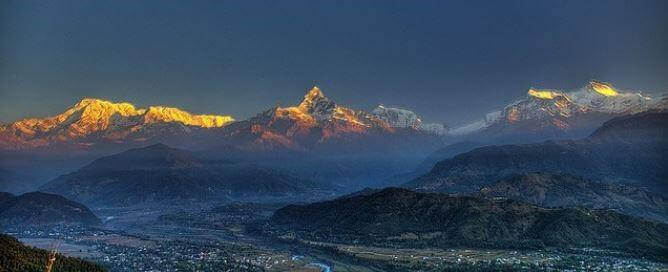
View from Sarangkot Sarangkot is the most popular tourist destination from where the tourist can enjoy the great view of the Pokhara Valley and the magnificent view of the mountains. Sarangkot is only 5 km from Lake Side, Pokhara. Sarangkot is the highest view point for a sunrise and it is just 1,592m high. Paragliding can also be done from Sarangkot. From Sarangkot, on the northern direction we can see Dhaulagiri in the far west. Annapurna range is visible when the weather is clear on the same side. On the southern direction the village overlooks the city of Pokhara and its lake on the north-western outskirts of the city. |
|
|
|
|
| DAY 4: Fly Pokhara to Jomsom (2,700m), walk up to Kagbeni: Camp (2,800m)
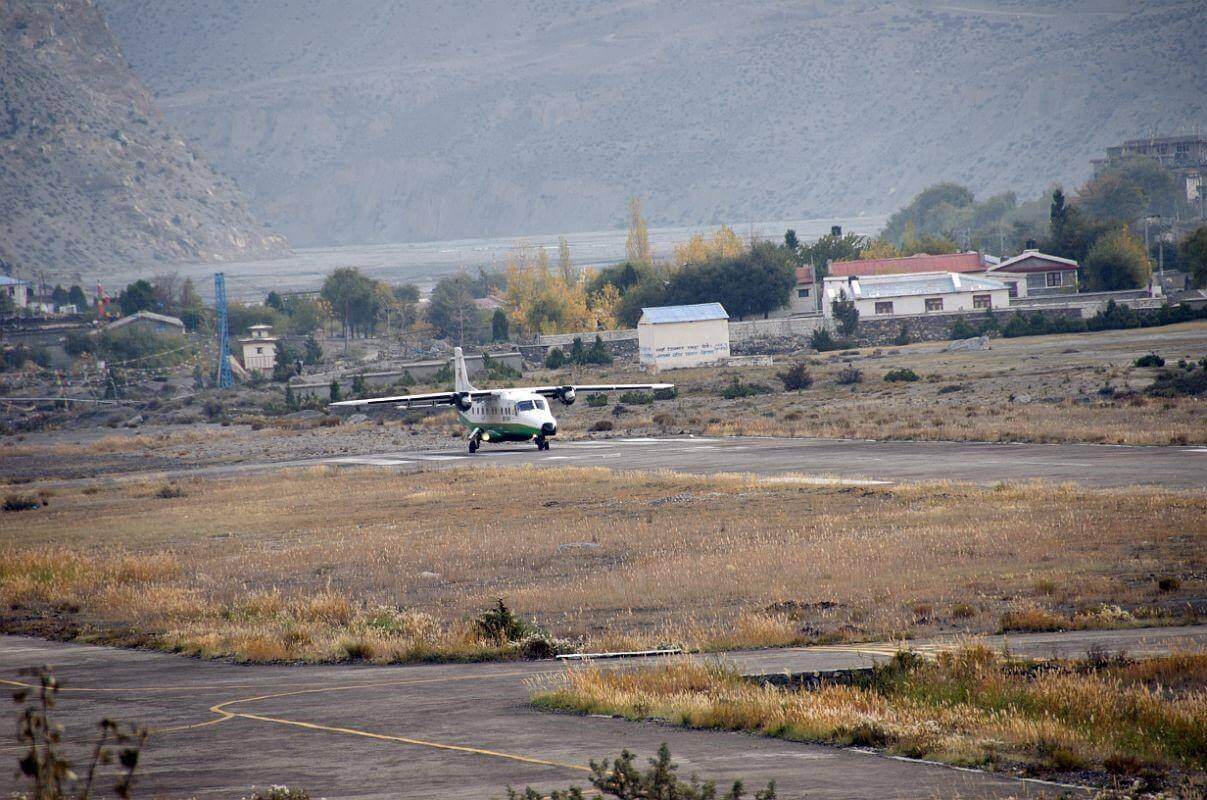
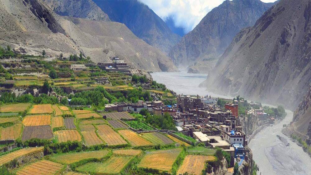
Early morning breakfast and transferred to airport for Jomsom flight. On landing in Jomsom our trekking staffs will meet you at the airport and after some formalities at Jomsom, we leave Jomsom, on the trail. It is interesting to look for the famous black stones which contain the Kali Gandaki famous sea fossils (40 million years old). Kagbeni is a surprising stronghold village closing the Mustang valley. Camp nearby. 3 hours walk. |
 |
 |
|
| DAY 05: Kagbeni - Chhuksang (2950m).
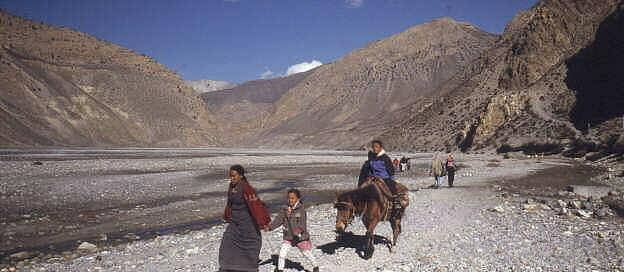
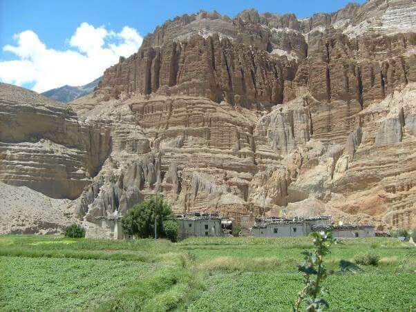
Our onward journey enters the restricted area of Mustang, we stop by the check post to submit our permit and allowed to step toward Mustang region. Our walk by the bank of Kali Gandaki, with several ups & down trail, paddy fields for about 3 hours we reach Tangbe, the first Mustang small village having a medieval atmosphere. The eight chortens are connected to each other, which is an unusual sight. After Tangbe, its about 1 hour walk upward we come to Chhuksang village, our campsite place. Near Chhuksang the Narshinga Khola meets Kali Gandaki and other side of Kali Gandaki stands eroded cliff with number of caves are found where people used to live, the caves are found along the river side erected about tens of meters high and people still wonder why it is made so high. 6 hours walk |
|
 |
|
| DAY6 : Chuksang to Samar (3,450m)
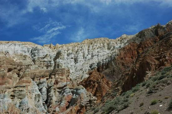
We have to go along the Kali Gandaki, called now the Mustang Khola, we cross the iron bridge and make a steep ascent onto the terrace ahead to reach Chele (3050 m). The village is clean, very inward looking and perched on a place which allows the checking of all the valley movements. We already can feel the change of ethnic groups and customs. Then the trail after Chele is desolate desert, climb the unstable pebble and come up on a small plateau, closed by a surprising bottleneck of stone penitents. After a view of Gyagar village, a wall-surrounded village we pass through small pass (3530 m), continue the trail is through gentle mountain flank and little downward and come to Samar village, surrounded by poplar grove, a good irrigation system and friendly people. Campsite near the village. 4.30 hours walk. |
 |
| DAY 07: Samar - Geling (3520m).
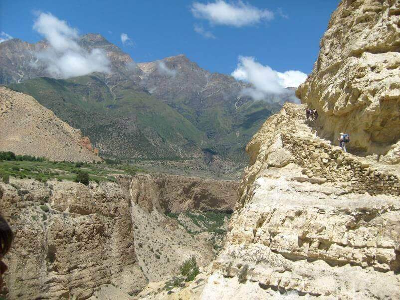
The trail climbs above Samar village on the ridge and crossing many valleys by going up and down many times. After crossing few hamlets, namely Bhena & Yamdo, a long ascent starts to Baga La pass (3870 m) which is pilled by stones. We descend, pass the valley, here we will find a holy cave fervently venerated by the inhabitants (especially a Chorten shaped stalactite). Way up across another canyon, spectacular too, till Shyangmochen (3700m) where we rejoin the main trail. After crossing another short pass (3860m) and descend the path, crossing a stream, move along the stone walls in the farm field we finally come to small village of Geling (3520m). Geling village have houses scattered in wide area where as almost all the villages in Mustang are close by, this is the difference of Geling village, where we have our camp today. 3.30 hours walk. |
 |
| DAY 08: Geling - Tragmar (3,800m
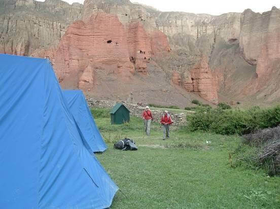
We start with climbing gentle slope and after a while an ascent come to the pass Nyi La (3950 m), the highest pass of the course and again enter the center of Mustang , also called the Lo region. We continue walking down and around the valley to reach village Ghami (3520 m). From Ghami we cross the river and start a steep ascent about 45 minutes and walking straight for about 2. hours, reach to Tragmar. Specialty of this place is for having long standing cliff with red colors, it is an eye catching spot for the day as we camp for the night here. 5 hours walk. |
 |
| DAY 09: Tragmar - Lo Gekar - Tsarang (3,580m).
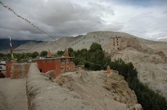
A steep ascent to the Lo Gekar monastery, we visit of 11th century ancient monastery. The trail goes on more easily till the Tsarang big village, where we camp. Village is overlooking monastery. Around that village there are numeral remarkable points we can visit too, such as the big chorten at the beginning way from Gemi. 7 hours walk. |
 |
| DAY 10: Tsarang - Lo Manthang (3,750m).
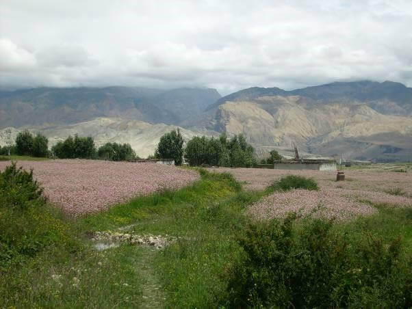
On the way out of Tsarang we pass nearby a turbine which once provided electricity to the village. Several mills work on that torrent and a big chorten marks the way out of the village. Many troglodytes’ settlements are towering us. A dry valley, which progressively becomes greener, leads us to a pass where prayer flags are flapping at 3870m. We overlook the Lo Manthang valley. There is a short walking hour for arriving below the Mustang capital walls. The place has two gates: the main one on the north, the second one, unobtrusive and discreet, on the south. Camp outside the place. 4 hours walk. |
 |
| DAY 11: Lo Manthang and around.
Generally, the King honors us with his presence if we request an audience. We will pay homage to him while drinking a salt and butter tea. Camp at the same place for three nights. Visit by horse to Chussar (here the sites of high school and Garphu & Narphu gompas are wroth visiting) & Thinkar valley, King’s summer palace, near to Tibet border. It’s a day tour and back to Lo Manthang. Whatever the mood of the authorities, there are numeral hikes around Lo Manthang, amidst barley, mustard and buckwheat fields. |
 |
| DAY 12: Lo Manthang - Yara (3,580 m).
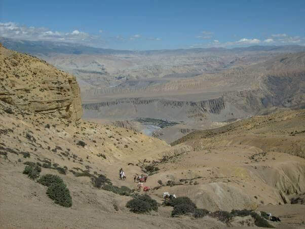
After an expended and memorable visit of such a historical places in Lo Manthang we start our walk today with an easy start. We walk in the flat path for about 2.30 hours without any strenuous trail and then lately gentle descending down ward. But, before reaching Dhie village it’s a steep down walk for half an hour and we reach Dhie village. After crossing Dhie village we come to cross the river on a metallic bridge and also enjoy walking on the bank of the river. Now we have a steep climb up for about an hour and some gentle steep walk before coming to Yara. Today’s walk would be 6.30 hours walk. |
 |
| DAY 13: Explore Yara by visiting Lori Gompa.
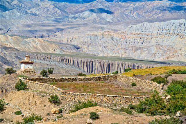
As a rest day at Yara, we should not miss to visit Lori Gompa. We ascend toward Gangra village and than to Lori – Gompa. It is also considered a traditional trail. The gompa is situated in a rock. After having a time to explore Lori Gompa , we retreat back to Yara again for the night stop. |
 |
| DAY 14: Yara - Tange (3,320m).
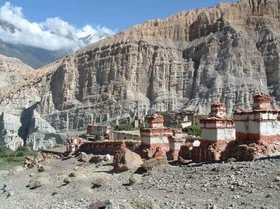
At first the trail drops to the Ghechang Khola at around 3350m, then again goes up till 3800m before dropping again! Camp site near Tange. Visit of that remote village with a remarkable architecture, especially its wonderful chortens line. 6 hours walk |
 |
| DAY 15: Tange – Chuksang (2,950m).
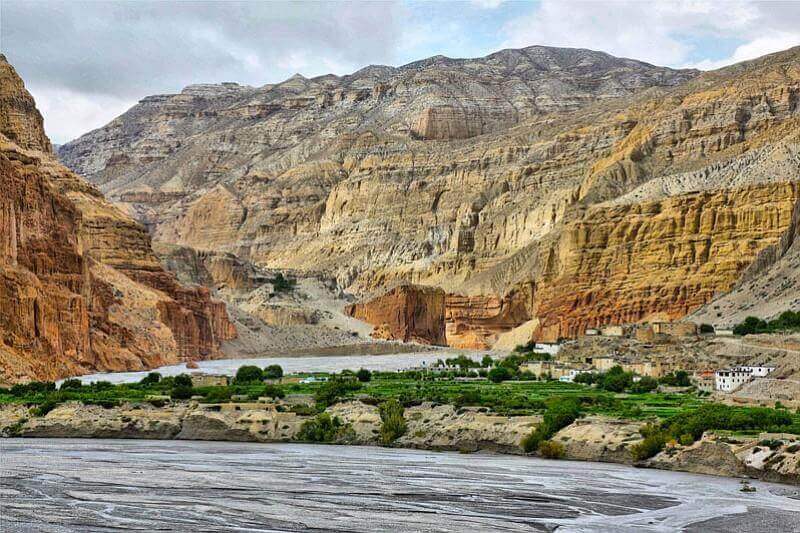
Long & tough walk today!! Firstly a horizontal trail till the torrent, then it steeply rises to 4100m about 4 hrs and then flat and almost descending down. A great moment of that trekking amidst a titanic atmosphere. 9 hrs hours walk. |
 |
| DAY 16: Chuksang - Muktinath (3,650m).
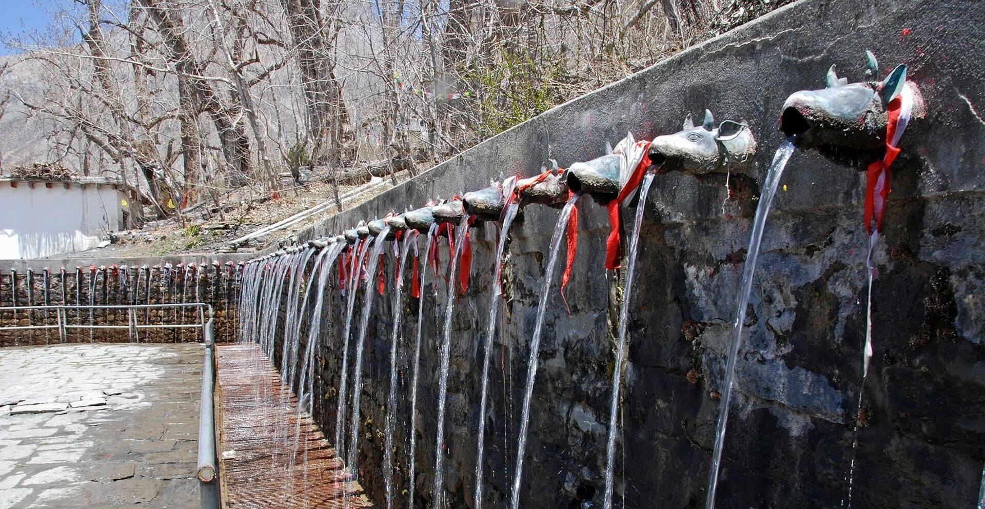
First as yesterday 4 hours steep walk, and flat & down ward easy walk around 3 hours leading to Muktinath. Campsite nearby. 7 hours walk. |
 |
| DAY 17: Muktinath - Jomosom.
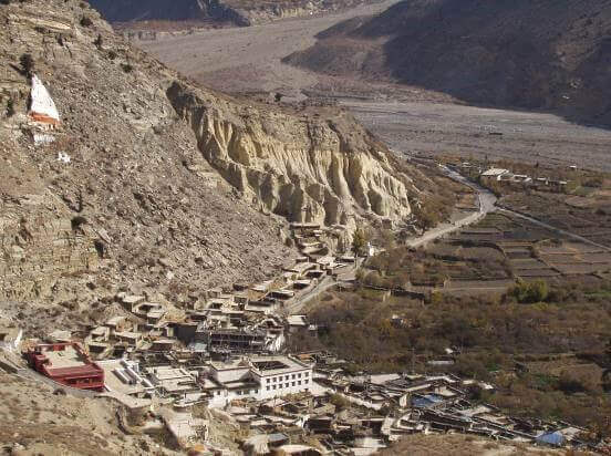
An easy day regularly dropping. We are now on the Annapurna Round trail. Passing Jarkot, a nice village overlooking the valley. Camp and last night with our local staff. 5 hours walk. |
 |
| DAY 18: Jomsom - Pokhara - Kathmandu flight.
Transfer to hotel.
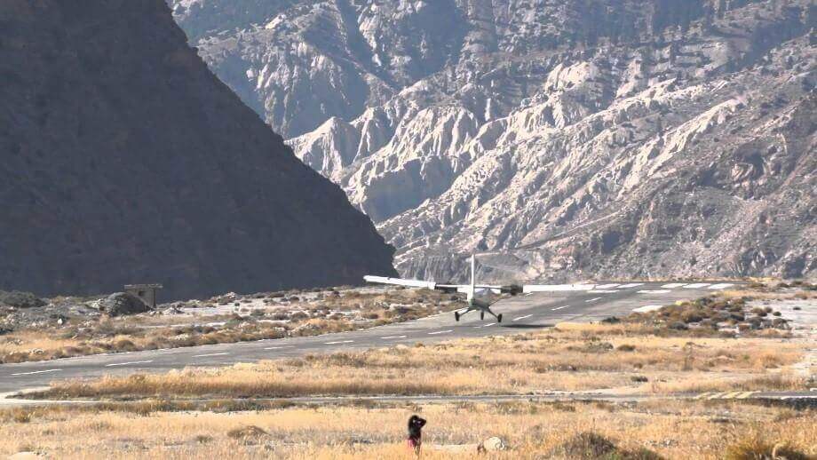
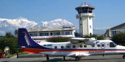
Flight takeoff from Jomsom Airport |
Pokhara Airport |
| Day 19 : Free Day in Kathmandu
Free Day in Kathmandu
|
|
Included
- All transfer in a Non-Air conditioned private vehicle
- 4 nights moderate hotel in Kathmandu on BB basis
- 1 night moderate hotel in Pokhara on BB basis
- Trekking on lodge basis
- 3 meals (breakfast, lunch & dinner) and room on available lodges during trek
- National park fees, TIMS & Mustang Special permits (US$ 500 per person for 10 days)
- One English speaking guide (Sirdar)
- Porters (1 porter for 2 members) one porter is allowed to carry maximum of 25 kg of total weight
- 1 Sherpa (assistant guide) above every 5 members
- Daily wages of Nepali staffs, meal and accommodation
- Insurance of guide & porter
- Flight fare Kathmandu-Pokhara-Jomsom/ Jomsom-Pokhara- Kathmandu
Excluded
- Lunch/dinner in Kathmandu & Pokhara
- Boiled/bottled mineral water, soft & hard drinks during the trek
- Laundry, telephone calls, emergency evacuation if required, Donation, tips
- Extra expenses due to road blockage/landslides/natural calamities/strikes
- All personal nature expenses
- Sleeping bag
Please note:
- Clients are suggested to give maximum of 12 Kg. of personal luggage to the porter. Also, please note that on the domestic flight you are only allowed to carry your luggage of 10 Kg and 5 Kg as a hand carry.
Still Confused Where to travel?
We help you to connect with right packages and destinations.

